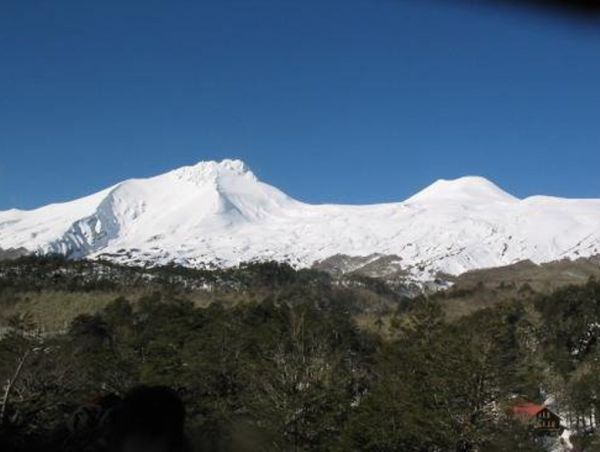
Description: has an area 7,537 hectares, and is under the administration of the National Forestry Corporation CONAF. Composed of two solid, the Mocho volcano 2,422 meters Height, to the north is the limit Choshuenco volcano 2,415 meters, this volcano has a glacier down to the south west area. The reserve has abundant scenic beauty and landscape resources as Panguipulli, Neltume, Pirihueico, Riñihue and Ranco lakes, presence of native forest, rivers and streams and volcanoes Mocho and Choshuenco. This reserve protects one of the most studied glaciers and scientific interest of the country and a narrow strip of high Andean steppe and forest stocky lenga. It is located in a strategic area of ??mixed deciduous forests of great interest. On the slopes of these mountains are Valdivian forest, which extends to approximately 1200 m altitude.
Location and access
It is located in the Rivers Region, Valdivia Province, between the municipalities of Panguipulli, Los Lagos and Futrono, Lake Riñihue east and south of Lake Panguipulli. It is 180 Km. from the regional capital, Valdivia, and 60km northeast of the city of Panguipulli. The reserve has three main access roads. The first one goes from the city of Panguipulli, through Choshuenco, Chanchán finally to Enco. The road to the town of Choshuenco asphalt, the last stretch of road, the town Choshuenco Enco is the one with the worst conditions, but is passable to 4x4 all year. Enco from a path of 12 km amounts to the refuge of the Andean Club and the access to the reserve. This road is accessible only in summer period, with 4x4 for experienced drivers. The second path is for input from the town of Neltume through the Reserve Huilo Huilo. Historically there was a third route from Los Lagos - Riñihue, which is in satisfactory condition at the Lake Flower sector, but is now cut the last stretch to Enco, so it is not practicable for vehicles.


